From November 11 to 15, the 22nd China High-tech Fair with the theme of "Science and Technology changing Life and Innovation driving Development" was held in Shenzhen. University of Sanya, as the only university in Hainan Province, participated in the exhibition.
The projects of "fully automatic control UAV tilt photogrammetry" and "virtual simulation system of deep-sea multi-point lander and rover submersible" by the Institute of Information and Intelligent Engineering have attracted wide attention.
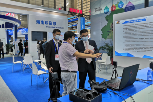
Cui Jian, Deputy Director of Department of Commerce of Hainan Porvince, communicating with the representative of University of Sanya
The China High-tech Fair (Hi-Tech Fair for short) is jointly organized by the Chinese Ministry of Commerce, the Ministry of Science and Technology, the Ministry of Industry and Information Technology, the National Development and Reform Commission, the Ministry of Agriculture and Rural Affairs, China National Intellectual Property Administration, the Chinese Academy of Sciences, the Chinese Academy of Engineering and the Shenzhen Municipal people's Government. It is currently the largest and most influential science and technology exhibition in China, known as "China's first Science and Technology Exhibition" now held in Shenzhen yearly.
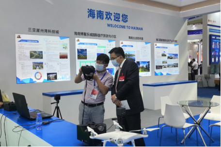
Mr. Dong Jiadao introduced the school exhibitors to Deputy Director Cui Jian.
Cui Jian, Deputy Director of the Department of Commerce of Hainan Porvince, went to the booth of University of Sanya to communicate with the representative of USY. He said that Hainan Province should be empowered by scientific and technological innovation to be built as the free trade port. It is necessary to show and exchange, to learn and improve as well as to connect with the market.
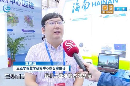
Dong Jiadao, Director of the Office of the Mathematics Research Center of USY, was interviewed by Sansha Satellite TV.
Dong Jiadao, Director of the Office of the Mathematics Research Center of USY accepted the interview with Sansha Satellite TV and said that USY has brought two works for the fair, one of them is the tilt measuring instrument, which could collect five photos at the same time, solve the problem of delay and reduce errors and improving accuracy.
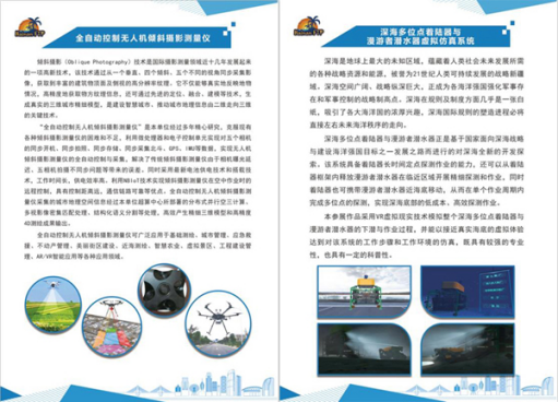
According to reports, fully automatic UAV tilt photogrammetry can be widely used in basic mapping, urban management, emergency rescue, street construction, intelligent agriculture and other fields. It is the key technology to build an intelligent city and promote urban geographic information from two-dimensional to three-dimensional.
The deep-sea multi-point lander and rover submersible are deep-sea development and exploration based on the national deep-sea strategy and the goal of building a marine power. The system can be surveyed at a fixed point for a long time, while carrying the rover submersible to move close to the seafloor. Finally, the deep-sea bottom exploration operation with low cost and high efficiency can be realized.
To meet the requirement of Hainan free trade port construction and development, USY has established the school-running path of "industry-university-research-application" integration, focusing on the construction of key disciplines, and accurately laying out the industrial system and hi-tech needed for development of Hainan .
Source: http://www.winning-post.net/newsDetails.asp?did=6353&cid=119
Editor: Liu Xiaodan
English translator & editor: Cong Shan


